How AI Flight Planning Could Change Bali Permits 2027
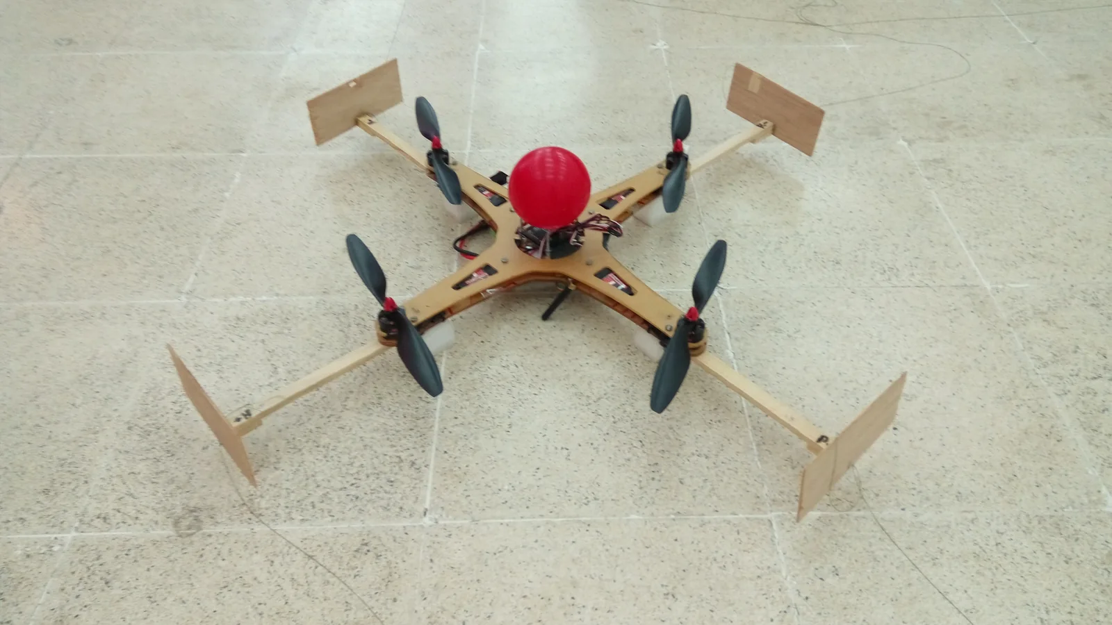
By 2027, AI flight planning is likely to cut Bali permit revisions by 30‑50% by auto‑checking KKOP, controlled airspace, and temporary flight restriction Bali drones data before submission. Correct geo coordinate accuracy and compliant altitudes will reach authorities in “ready to approve” format, reducing manual clarifications and bali drone permit change of dates.
How might AI tools actually change the Bali drone permit workflow by 2027?
By 2027, AI tools are expected to sit between producers and regulators, automatically shaping applications that match Indonesia’s aviation rules before any human touches them. Today, permit chains for KKOP zones near Ngurah Rai often bounce back over coordinates, heights, or missing landowner letters, adding several days to the 14‑working‑day baseline stated in public guidance for PM 180/2015 and PM 47/2016.
Future AI flight planners could plug into official aeronautical data and recent NOTAMs to flag controlled airspace under PM 37/2020, KKOP boundaries defined under PM 90/2015, and any temporary flight restriction Bali drones around VIP events or fire zones. The software would suggest corrected heights, distances from runways, and safe corridors, so applications arrive to DGCA, AirNav, and airport authorities already aligned with UU No. 1 Tahun 2009 on aviation safety.
Service desks such as sidopi-go flight permit assistance Bali are likely to wrap these engines into guided workflows: upload a storyboard, pin shot locations, and get an AI‑refined schedule, with automatically generated maps and risk narratives. That reduces back‑and‑forth emails, which currently slow complex KKOP and Flight Security Clearance cases handled via the SMS‑FSC system.
How will AI help optimize flight plans for Bali drone approval in KKOP and sensitive zones?
Several national rules already define “red lines”: KKOP areas around airports, prohibited and restricted areas under PM 90/2015, and controlled airspace segments summarized in PM 37/2020. Around Ngurah Rai International Airport, practical guidance and travel advisories point to roughly a 15 km “no‑fly” buffer for most casual use, effectively covering Kuta, Seminyak, Jimbaran, and Nusa Dua.
AI flight planners can ingest this rule set and generate legally safer options instead of blunt rejections. For example, a requested drone permit for Melasti Beach in South Bali often intersects controlled airspace and may require Director General approval. An AI system could propose lower altitudes, time windows outside peak arrival banks, or slightly shifted take‑off points that keep lateral distance from the runway alignment, all while preserving the creative brief.
Similar logic applies to a Bali national park drone permit, a Bali drone permit for offshore platforms, or a drone permit for Komodo trip via Bali where protected ecosystems and maritime traffic lanes need extra care. By 2027, operators can expect AI tools to score each proposed flight leg for regulatory risk, offering multiple alternative profiles that maximize approval probability without promising guaranteed approval or any “fast lane”.
Why is geo coordinate accuracy for Bali flight plans so critical for AI systems?
Authorities base their assessments on exactly where the drone will be in three‑dimensional space. Under UU No. 1 Tahun 2009, activities in KKOP that may endanger aviation are prohibited without explicit permission, and PM 37/2020 highlights proximity thresholds to controlled airspace and helipads. A 50–100 m error in coordinates can push a flight leg from “outside” to “inside” a sensitive zone.
By 2027, AI engines will likely require centimeter‑level geo coordinate accuracy for Bali flight plans by reading EXIF data, RTK logs, or survey‑grade GNSS references. This matters for precise resort boundaries, cliff edges near Uluwatu, or industrial jetties used for Bali drone permit for offshore platforms. Mis‑tagged coordinates currently cause some of the most common clarifications from AirNav and airport offices, delaying approvals.
Better coordinate precision also improves environmental compliance. For a Bali national park drone permit, for instance, AI could overlay park polygons with species nesting maps and micro‑zoning rules, then nudge take‑off spots a few meters to avoid restricted conservation cores. The same tools can generate clear KML/KMZ overlays that regulators recognize instantly, instead of hand‑drawn or low‑resolution screenshots.
What could AI change for hotels, resorts, and events using drones in Bali by 2027?
Hospitality and events are heavy users of aerial imagery. Properties that need a Bali drone permit for resort marketing, or organizers applying for a Bali event drone permit, often operate near populated beaches and villas where safety and privacy scrutiny is high. Public summaries of PM 37/2020 and local bylaws already push for strict separation from crowds and buildings.
By 2027, AI planning tools can embed property boundaries, internal no‑fly bubbles above pools or kids’ clubs, and rooftop helipad clearances. Tied with the trends discussed in our analysis on how bali hotels will handle guest drone use by 2027, hotels may offer AI‑checked “house flight corridors” and pre‑cleared altitudes to be used only after formal government permits are in place. This reduces ad‑hoc, unsafe launches by guests.
For Melasti, Pandawa, or similar venues in the south, AI can automatically check if a planned flight needs a KKOP exemption, Flight Security Clearance through SMS‑FSC, and municipal event permissions. Instead of simply saying “no drones allowed”, venues can collaborate with permit specialists using AI tools to design safe windows when drones can be flown legally for weddings, festivals, or branded shows.
How will AI flight planning affect pricing, competitors, and import considerations by 2027?
Permit service pricing in Bali is already quote‑based, and as of August 2026 professional drone show packages range widely: for example, 100 drones cost about Rp277–375 million, 200 drones Rp555–585 million, and 300 drones roughly Rp832 million, with permit handling included. Similar quote logic will likely apply to AI‑assisted planning: costs depend on complexity, number of sites, and KKOP exposure rather than a single flat fee.
Bali drone permit competitor analysis suggests service providers will differentiate less on basic paperwork and more on who can feed better AI datasets: historical refusals, typical clarifications from DGCA, and community sensitivities by village. Some desks may pair AI with concierge support such as sidopi-go flight permit assistance Bali, while others focus on volume processing for regional production houses.
Hardware logistics will also evolve. Importing drone radios and transmitters to Indonesia can trigger separate customs and spectrum checks, especially for non‑standard frequencies. By 2027, AI‑driven intake forms could ask precise model numbers and frequencies, then warn if the setup risks delays or is better hired locally. This data could also tie into an affiliate program for Drone Permit Bali, where trusted local rental partners are suggested to reduce customs friction.
- Standard lead time for formal permits remains about 14 working days for simple jobs, and 30–45 days for complex KKOP and FSC cases as of August 2026.
- AI tools will still route all approvals through official written channels: DGCA/DKPPU, AirNav/LPPNPI, airport authority, and SMS‑FSC for Flight Security Clearance.
- Specific locations such as Melasti Beach, resort strips in Nusa Dua, and some offshore platforms are affected by KKOP or controlled airspace constraints.
- Complex multi‑location projects (e.g. Bali–Komodo itineraries) may require segmented permits across several districts and airspace classes.
- Quote bands as of August 2026 vary depending on aircraft count, risk analysis depth, and need for NOTAM or SIT, rather than only on filming hours.
- Supporting documents usually include exact coordinates, height profiles, aircraft specs, pilot licences, and letters from landowners or venue operators.
- Our independent civilian role means all flying is carried out by licensed AOC operators; no aircraft are owned and no AOC is held.
Frequently asked questions
how ai flight planning will change bali drone permits 2027
By 2027, AI flight planning is expected to reduce resubmissions and clarifications by automatically validating coordinates, heights, and proximity to KKOP, prohibited, and restricted areas. Applications will arrive to DGCA, AirNav, and airport authorities with consistent maps, risk narratives, and timing windows, shortening approval cycles but never bypassing any formal legal step.
what is included in how ai flight planning will change bali drone permits 2027?
This concept includes AI engines that pre‑check coordinates against KKOP and controlled airspace, auto‑generate KML maps, suggest safer altitudes, and flag temporary flight restriction Bali drones before submission. It also covers smarter scheduling for Bali event drone permit workflows, resort marketing shoots, offshore and Komodo extensions, and integrated risk assessments for regulators.
How could AI help with bali drone permit change of dates for shoots?
Rescheduling often means rechecking NOTAMs, airspace status, and venue availability. AI tools can quickly recalc risk for new dates, suggesting alternative slots with equal or better safety margins. This reduces manual recalculation and keeps authorities updated with revised timelines, especially for KKOP‑adjacent venues and peak holiday seasons June–September.
How will AI planning interact with a bali drone permit for resort marketing?
For resort campaigns, AI can encode rooftop heights, property lines, guest‑only zones, and nearby helipads, then generate shot lists that respect PM 37/2020 stand‑offs from crowds and structures. The system can also help resorts prepare internal policies, complementing guidance such as the 2027 guide to filming near bali airport with drones and standard commercial drone filming permit Bali workflows.
berapa biaya izin untuk drone non-komersial?
There is no single fixed fee for non‑commercial drones. Costs depend on area sensitivity, altitude, KKOP exposure, and whether extra studies like SORA‑style risk assessments are needed. As of August 2026, service providers usually give a custom quote after reviewing coordinates and purpose. For an exact band for your case, request a Bali drone permit price quote online.
For AI‑ready flight planning and permit support for filming, survey, or events in Bali and nearby regions, contact the BD desk of Juara Holding Group via WhatsApp 6281139414563 or email bd@juaraholding.com.
Last updated 4 August 2026
Keep Reading
Service & Compliance
2027 Insurance Requirements For Bali Drone Permits
By 2027, most commercial drone permits in Bali are expected to require public liability insurance of at least USD 500,000–1,000,000…
Service & Compliance
Will Express Drone Permits Be Normal In Bali 2027?
Express drone permit services in Bali by 2027 are likely to be normal for many locations, but not for every…

Service & Compliance
Bali Drone Permit Pricing Scenarios For 2027
Typical bali drone permit pricing scenarios for 2027 shoots are likely to range from IDR 8–25 million per shooting day…