Site feasibility
Whether each location can carry the shot at all, before anything is drafted.
Standard permits 7–14 working days · KKOP zones 30–45
Filming · Events · Surveys
DGCA and AirNav Indonesia approval arranged end to end, including KKOP and helipad zones. 7–14 working days for standard locations, 30–45 for complex ones.
One desk between your production and four Indonesian authorities. Every exchange stays written and traceable, because one day you may have to prove it.
Every service
Nine service pages, grouped by what actually decides your timeline: the airspace you are in, the kind of shoot it is, and how much of it you want handled.
AirNav Indonesia clears anything that might interact with controlled airspace, an instrument approach path or a helicopter route. That means coordinates, proposed heights, time windows and the technical specification of the aircraft — not a description of the shot.
The application packs are prepared in English and Bahasa Indonesia with georeferenced KML/KMZ files, elevation profiles and written risk mitigation, following the patterns DKPPU and AirNav already work from.
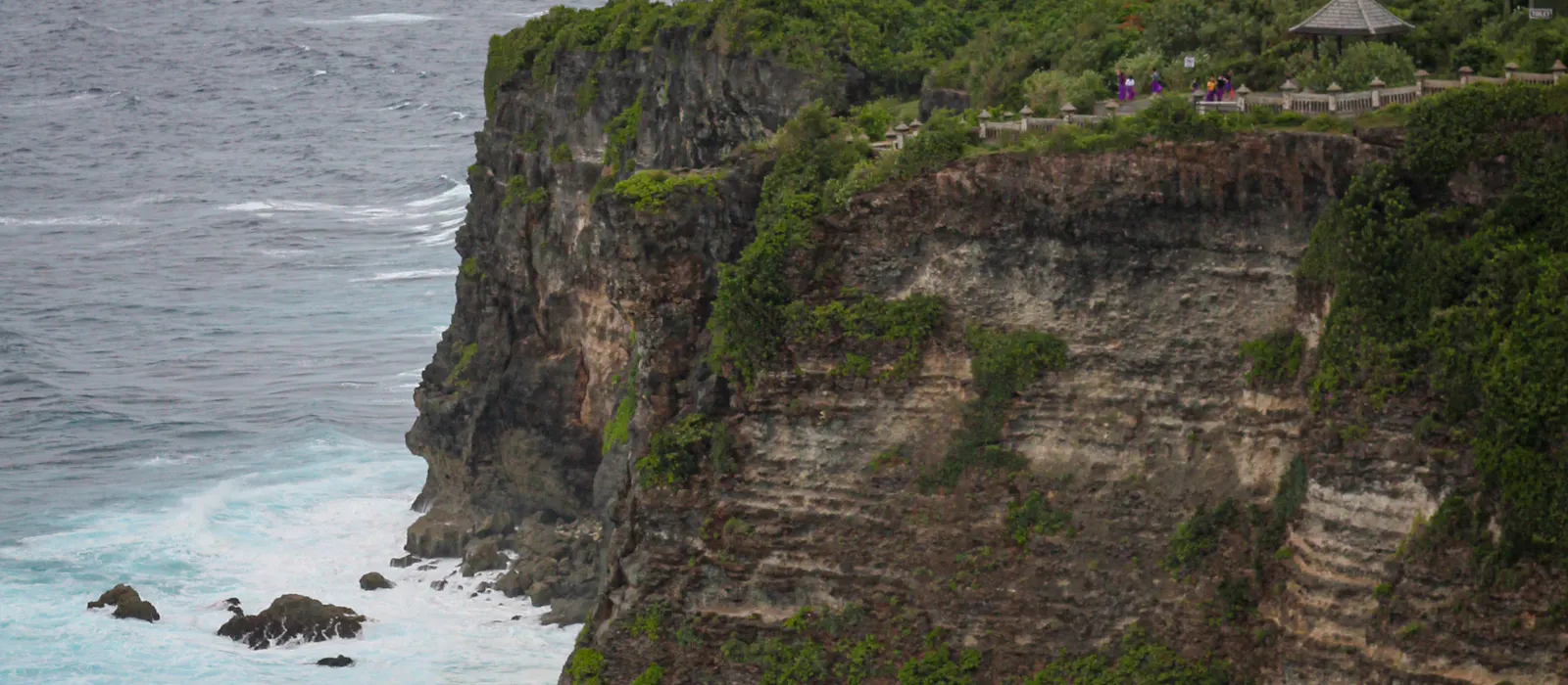
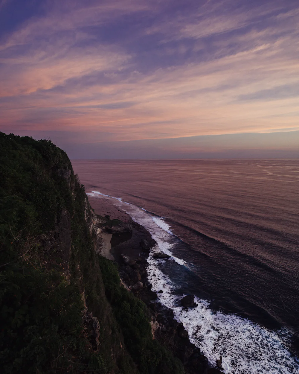
Helipads add a layer that catches people out. PM 37/2020 summaries describe a 3 NM radius around helipads outside KKOP where special permission applies — which is how a clifftop villa elopement ends up needing three to four weeks of lead time.

Scope
The parts that sit between a location list and a signed clearance.
A rejection is usually a correction request wearing the wrong words.
The review looks at the common mistakes — incomplete coordinates, unclear altitudes, missing insurance detail — then files a structured clarification letter through the same channels.
For a clifftop elopement or low-level coastal work around Nusa Lembongan, that head start absorbs a round of questions from DGCA or AirNav without moving your dates.
English for the production team, Bahasa Indonesia for the authorities, and experience preparing material for Russian-language charter groups.
Send the dates, the coordinates and the aircraft. We come back with feasibility, the authorities involved and a realistic timeline.