2027 Guide To Drone Filming Near Bali Airport
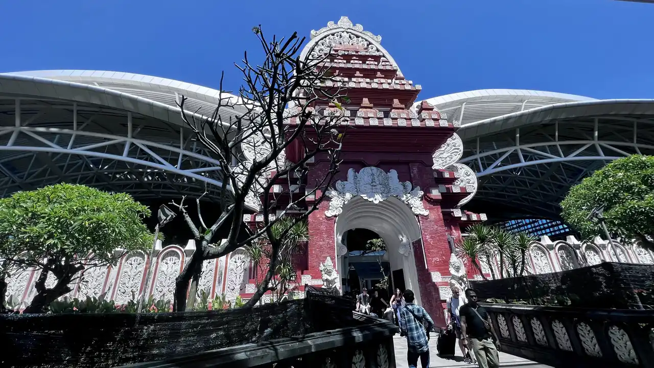
Filming near Bali’s Ngurah Rai Airport in 2027 is only lawful with a multi-agency permit chain and a precise safety plan. Expect at least 14–30 working days, a KKOP justification letter, a drone filming permit Bali airport zone clearance from DGCA/AirNav, and strict VLOS operations with altitude, timing and geofencing limits.
How close can drones legally fly to Bali Airport in 2027, and what has changed?
By 2027, the practical no-fly reference around Ngurah Rai International Airport remains a 15 km airport zone, covering Kuta, Seminyak, Jimbaran, Nusa Dua and much of South Denpasar, based on national guidance already cited in 2026 tourism and drone law summaries. Inside this area, drone flights fall under KKOP and controlled airspace rules.
Under UU No. 1 Tahun 2009 and PM 90/2015, KKOP is a protected safety area, and activities that may endanger flight operations are prohibited unless specifically authorised by the airport authority and the Directorate General of Civil Aviation (DGCA). PM 37/2020 reinforces that operating in KKOP or controlled airspace needs explicit DGCA approval.
Compared with 2024–2026, the main 2027 difference is operational practice: authorities are increasingly using digital tools such as SMS-FSC to track drone flights and coordinate Flight Security Clearance, especially around the runway and approach paths. That means airport-adjacent filming now requires more detailed coordinates, profiles and standard operating procedures drones Bali documents to be accepted.
What permits and SOP are required for runway-view and approach shots in 2027?
Any drone permit for Bali runway view shots in 2027 requires at least three pillars: aviation clearance, local government filming approvals, and a robust sop for drone filming near Bali airport. Under PM 37/2020, DGCA and AirNav Indonesia must approve drone operations in KKOP, controlled airspace and above 400 ft in uncontrolled airspace.
For aviation clearance, productions submit route maps, altitudes, time windows, and a risk assessment to DGCA and AirNav, often via airport authority channels. As of August 2026, lead times range from 14 working days for simple, low-altitude profiles up to 30–45 working days for complex, multi-day runs or night operations near the runway ends.
Standard operating procedures must spell out VLOS requirement for drones in Bali (who maintains visual contact, how spotters are positioned), emergency landing zones, geofencing, fail-safe configuration, and how communications with ATC or airport operations will be handled. Productions planning fpv drone cinematography in bali airport zones 2027 need even tighter SOPs because of higher speeds and dynamic manoeuvres.
Failure to secure these approvals before entering KKOP can trigger operational shutdowns, fines, and even criminal exposure under Article 210 of UU No. 1/2009 if flights are deemed hazardous to aircraft.
How do regency permits, consent and public order teams affect airport-zone filming?
Besides aviation agencies, productions must address ground-level governance. For any Bali regency filming permit with drones, local government approvals sit alongside DGCA paperwork. Badung Regency covers the immediate Bali Airport catchment, while Denpasar City, Gianyar or others may apply for extended routes across multiple districts.
Local authorities increasingly consider privacy and crowd management. Filming people with drones in Bali consent standards have tightened since 2025, especially in beaches, temple areas and residential corridors under the KKOP canopy. Productions are expected to obtain written or at least clearly documented consent for recognisable individuals in non-news contexts, and to publish on-site notices when filming crowds.
Public order officer Satpol PP and drones Bali interactions matter around roads, markets and beachfronts. Satpol PP can pause or stop operations if a crew lacks visible permits, cordon plans or safety marshals. Airport police and Avsec teams coordinate closely with Satpol PP for shoots near perimeter fences, runway approach lighting masts and harbor access roads.
Integrating these factors into call sheets and the standard operating procedures drones Bali file helps avoid last-minute disruptions, particularly for sunrise and sunset slots that are time-critical for runway approach visuals.
How does Bali Airport expansion and nearby infrastructure work impact drone plans?
The impact of Bali airport expansion on drones is expected to be significant through 2027, as proposals for apron extensions, runway safety improvements and possible satellite terminal zones firm up. Each new obstacle, crane and temporary helipad adds constraints to airspace planning and ballooning NOTAM activity around Ngurah Rai.
Drone work close to major infrastructure is increasingly bundled: a bali drone permit for harbor projects at Benoa or a bali drone permit for highway projects on the airport access corridors may intersect with KKOP and controlled airspace. Productions must harmonise regency construction permits, port authority clearances and airport safety assessments.
As of August 2026, construction-related flight approvals typically demand a more conservative altitude ceiling, daytime-only slots, and real-time coordination with project safety officers. In 2027, productions should expect closer scrutiny of obstacle data on vfr charts for Bali region drones, as cranes and new buildings alter line-of-sight, missed approach paths and emergency routes.
This evolving layout makes early pre-production surveys essential: mapping precise take-off locations, ensuring safe vertical separation from any temporary structures, and building contingency shot lists if certain angles are denied late in the permit chain.
What operational standards will foreign crews be expected to prove in 2027?
Foreign crews arriving with their own aircraft and pilots will be assessed not only on paperwork but on operational maturity. Authorities and local AOC operators usually expect documented standard operating procedures, incident logs, and current insurance that meets Indonesian norms for third-party liability.
VLOS requirement for drones in Bali remains the baseline for airport-adjacent filming: a human observer must maintain continuous unaided visual contact with the aircraft, aside from corrective lenses. BVLOS is effectively off-limits in KKOP unless a specialised trial is approved at national level, which is rare as of August 2026.
Safety expectations extend to volcano drone filming safety Indonesia, because Bali and nearby islands sit within an active volcanic arc. Productions planning to mix airport shots with volcano sequences in East Java, Lombok or Nusa Penida must prove they can manage ash advisories, TFR-style closures and sudden weather changes.
International teams can streamline acceptance by partnering with an Indonesian operator that already flies under a commercial AOC and by using up-to-date data sources, including vfr charts for Bali region drones and official NOTAM feeds, in their risk assessments and storyboard packets.
How does Drone Permit Bali coordinate DGCA, AirNav and full production support?
Drone Permit Bali functions as an independent civilian service company, coordinating permit chains only through official written channels with DGCA/DKPPU, AirNav/LPPNPI, airport authority and, for KKOP or Flight Security Clearance, the SMS-FSC system. All flights are operated by licensed AOC operators; the service does not own aircraft and holds no AOC.
As of August 2026, quote-based bands apply for each production, with pricing dependent on the number of flight days, aircraft types, KKOP exposure and regency footprint. Complex chains that mix Bali airport shots, harbor coverage and highways typically require 30–45 working days and multiple consultation rounds with the directorate general of civil aviation contact for drones and regional government offices.
Productions that also stage shows or live activations can fold in a bali drone permit for events to keep one integrated compliance plan. For distributed teams and content creators, there is dedicated guidance on remote work creators and bali drone compliance 2027, aligning personal-brand content with the same KKOP rules applied to broadcast crews.
Airport-zone projects that need logistics, casting, vehicles and location management alongside airspace clearances can use the bali drone permit full production support track to consolidate coordination via the Juara Holding Group BD desk.
- Typical KKOP lead time near Ngurah Rai: 14–30 working days as of August 2026, longer for night or multi-aircraft profiles.
- Core documents: passport scans, regency filming letters, insurance, aircraft specs, pilot licences, and a detailed SOP and risk assessment.
- Runway-view requests must show exact GPS coordinates, maximum altitude, and separation from approach/departure paths.
- Flight profiles must comply with VLOS and usually remain below 120 m AGL unless a specific higher ceiling is authorised.
- On-ground safety often requires marshals, cordons, and visible permits to satisfy Satpol PP and airport security teams.
- For harbor or highway sequences overlapping KKOP, harbor and public works authorities may need to co-sign approvals.
- All aviation permissions are issued via DGCA/DKPPU, AirNav and airport authority; no informal “fast lane” is possible.
Frequently asked questions
do i pay import tax on drones to bali
Temporary import of drones for filming in Bali may attract customs attention at Ngurah Rai Airport. Practically, small prosumer units often pass as personal electronics, but higher-value or multiple aircraft can trigger temporary import or guarantee requirements. Productions should carry purchase invoices and carnet documents where available to minimise unexpected taxes or delays.
is 2027 guide to filming near bali airport with drones worth it in Bali?
Using a 2027 guide to filming near Bali Airport with drones is valuable because KKOP, controlled airspace and local regency rules overlap tightly around Ngurah Rai. Missteps risk forced shutdowns and legal exposure. A clear guide aligns DGCA, AirNav, airport authority, regency permits and on-ground safety so crews can focus on creative execution.
what is included in 2027 guide to filming near bali airport with drones?
The 2027 guide to filming near Bali Airport with drones covers KKOP boundaries, required DGCA and AirNav clearances, regency-level filming permits, VLOS standards, SOP templates and coordination with airport, Satpol PP and harbor or highway authorities. It also highlights timelines, documentation checklists and risk-mitigation practices for runway, harbor and access-road shots.
how do I contact the directorate general of civil aviation contact for drones?
For official matters, drone-related applications go through DGCA’s unmanned aviation channels referenced in PM 37/2020 and related guidance, usually via email and the national digital systems used for flight security clearance. Productions typically work through an Indonesian operator or permit facilitator, which consolidates technical dossiers before submission to DGCA.
how strict is VLOS and SOP enforcement for drones around Bali Airport in 2027?
VLOS and SOP enforcement is increasingly strict near Bali Airport. Authorities expect written SOPs, designated visual observers, defined emergency landing points and precise timing. Deviations from approved profiles can lead to immediate suspension by airport operations or AirNav. Thorough pre-briefings and real-time communication logs help demonstrate compliance during and after flights.
To scope your 2027 airport-adjacent drone project in Bali and align permits, safety and production support, contact the BD desk Juara Holding Group via WhatsApp 6281139414563 or email bd@juaraholding.com.
Last updated 4 August 2026
Keep Reading
Airspace & Zones
U-Space And Drone Traffic Management Over Bali 2027
By 2027, U‑Space style drone traffic management over Bali will likely mean that most professional flights in South Bali are…
Airspace & Zones
The Future Of KKOP Drone Operations In Bali 2027
By 2027, Bali’s KKOP airport safety corridors are expected to be enforced as a hard 15 km no‑fly ring around…
Airspace & Zones
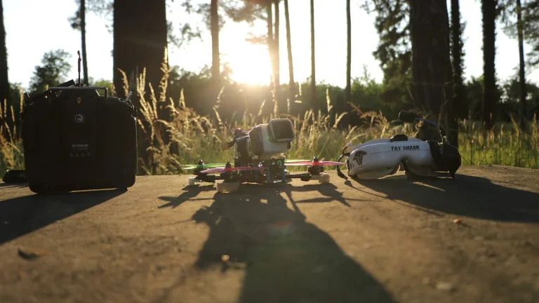
FPV Drone Cinematography In Bali Airport Zones 2027
FPV drone cinematography in Bali airport zones 2027 will remain tightly restricted, with only an estimated 5–10% of serious applications…