The Future Of KKOP Drone Operations In Bali 2027
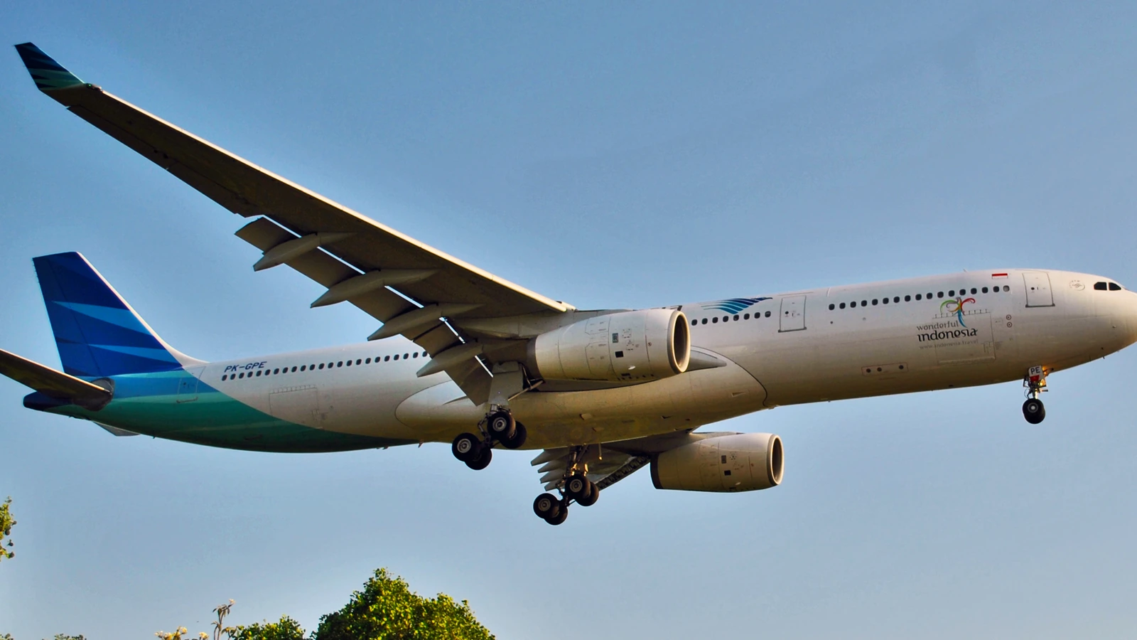
By 2027, Bali’s KKOP airport safety corridors are expected to be enforced as a hard 15 km no‑fly ring around Ngurah Rai, with mandatory digital permit tracking and Remote ID for professional flights. This means more structured access inside KKOP, but fewer spots for “spontaneous” flying near the main tourist coast.
How will KKOP safety corridors change where drones can fly in Bali by 2027?
By 2027, the future of KKOP drone operations in Bali will be shaped by tighter enforcement of the airport safety corridor around Ngurah Rai International Airport. Current public guidance already refers to a 15 km buffer zone around the runway as a de facto no‑fly area for casual drone activity, reaching Kuta, Seminyak, and much of South Bali leisure coastline. Operators should expect that radius to be treated less as a guideline and more as a formally policed boundary.
Nationally, the legal base remains UU No. 1 Tahun 2009 and derivative regulations such as PM 90/2015 and PM 37/2020, which already classify KKOP as protected airspace where drone flights need central approval. The practical shift by 2027 is likely to be technological and procedural rather than purely legal: closer integration between the Indonesia DGCA, AirNav Indonesia, and the airport authority via systems like SMS‑FSC, with less tolerance for informal, last‑minute flying inside KKOP.
For producers, survey companies, and event organizers, this means KKOP flights will still be possible, but only via structured processes and precise coordinates. Expect more granular corridor mapping around approach and departure paths, particularly south and east of the runway, plus tighter checks near hotels and venues that sit just inside the 15 km ring.
What is the difference between KKOP and no fly zones in Bali, and why does it matter for 2027 planning?
The difference between KKOP and no fly zones in Bali will matter more each year to 2027. KKOP is a legally defined aviation safety area around the airport, established under national law for aircraft operations and obstacle control. Flying drones inside this area is not automatically impossible, but it requires explicit approval from the aviation authorities and coordination with air traffic stakeholders.
No fly zones can be broader: they include KKOP plus prohibited and restricted areas set by the state, for example military bases or critical infrastructure, and also local cultural bans such as Bali drone no fly zones near temples. Those temple‑related restrictions are typically grounded in regional regulations and community norms rather than the aviation law itself, but enforcement on the ground can be just as strict as a KKOP breach.
By 2027, production planners should expect a more detailed bali drone no fly zone map that layers: (1) state‑level prohibited/restricted airspace, (2) KKOP/controlled airspace around Ngurah Rai, and (3) locally declared “no drone” cultural zones, particularly major temples, cremations, and certain ceremonies. Treat KKOP as a negotiable but highly controlled corridor, and temple areas as effectively off‑limits unless there is a written cultural and aviation clearance chain.
How will digital permits, Remote ID and tracking shape KKOP drone work in 2027?
The remote id future for drones in Indonesia is expected to align with global practice: identification and positional data broadcast in real time, allowing authorities to see who is flying where. For Bali, this becomes most critical inside KKOP and controlled airspace, where the risk of collision or runway interference is highest. By 2027, operators should anticipate Remote ID as a standard requirement for commercial jobs near KKOP.
Alongside Remote ID, the indonesia dgca online drone permit system 2027 is expected to consolidate multiple approvals (DGCA, AirNav, airport operator) into one digital chain. Today, approvals for KKOP often rely on email, forms, and the SMS‑FSC system; by 2027 this is likely to be more automated with defined service windows and strict cut‑off times, particularly for flights within 15 km of Ngurah Rai.
This digitalisation does not mean easier permission; it means more traceability. Every flight inside Bali’s KKOP corridor will likely be cross‑checked against a digital flight plan, drone ID, and pilot data. For serious operators, this is positive: it reduces last‑minute uncertainty, creates audit trails for clients, and supports insurance requirements. For unregistered or tourist drones, it makes unsanctioned flying around the airport noticeably riskier from an enforcement point of view.
What role will earthquakes and disaster planning play in KKOP drone rules by 2027?
Earthquake safety and drones Bali planning is rising in importance as authorities integrate unmanned aircraft into disaster response. Bali sits in a seismically active region, and after several major national quakes in the past decade, disaster agencies increasingly see drones as rapid assessment tools for damaged runways, access roads, and coastal infrastructure. By 2027, KKOP corridors may explicitly include emergency drone operations protocols.
In a post‑earthquake scenario, the airport must assess runway obstruction, terminal damage, and fuel farm integrity quickly. Designated response drones, coordinated through DGCA and AirNav, can be cleared to fly inside KKOP when crewed aircraft movements are temporarily halted. That makes pre‑registered, compliant platforms more valuable. On the other hand, ad‑hoc, unapproved drones in the same airspace could interfere with medical flights or survey helicopters.
Regulators are likely to embed disaster response clauses in KKOP SOPs and reinforce them in permit conditions by 2027, including shut‑down triggers for non‑essential drone activity during emergencies. Professional teams that can demonstrate safe geo‑fencing, Remote ID, and emergency abort procedures will be better positioned to receive conditional approvals for critical‑infrastructure surveys around the airport and coastal evacuation routes.
How might KKOP enforcement affect popular filming spots like Uluwatu, Tanah Lot, and Ubud rice fields?
As KKOP enforcement matures, popular locations will fall into three categories: firmly inside airport risk corridors, conditionally accessible, and culturally restricted. For example, many coastal resort areas in South Bali sit within the 15 km guidance radius of Ngurah Rai. As enforcement tightens, the question is not only “can you fly a drone in uluwatu bali” but under what conditions and at what altitude.
Uluwatu’s cliffs are generally outside the inner core of airport approach but can intersect with higher‑altitude traffic flows depending on routing and height. KKOP‑linked approvals may still be needed for certain elevations or directions of flight. In parallel, “can you fly a drone in uluwatu temple” is primarily a cultural and local government question; the temple complex is typically treated as a sensitive religious zone, and drone use during ceremonies is heavily restricted or prohibited even if aviation regulations alone would allow it.
Similarly, “can you fly a drone in tanah lot” involves both local tourism board rules and safety concerns, especially as crowds gather near the cliffs. For “can you fly a drone in ubud rice fields”, KKOP is usually not the limiting factor because Ubud lies well outside the primary Ngurah Rai safety ring, but privacy, landowner consent, and community rules still apply. By 2027, expect more structured permit templates that separate airport‑related risks from cultural and community approvals for each of these locations.
- Typical KKOP‑related permit lead time: 14 working days for simple jobs, up to 30–45 days for complex events or drone shows as of August 2026.
- Drone shows in Bali: around Rp277–375 million for 100 drones and ~Rp832 million for 300 drones, excluding logistics variations, as of August 2026.
- Permit chains normally involve DGCA/DKPPU, AirNav, airport authority and Flight Security Clearance via the SMS‑FSC digital system.
- Penalties for dangerous activity in KKOP can include up to 3 years imprisonment and fines up to Rp1,000,000,000 under national aviation law.
- Controlled airspace around large airports can practically extend beyond 15 km, especially along approach and departure paths.
- Temple areas and sacred sites may be designated as local no‑drone zones, enforced by community security and regional regulations.
- Eco‑focused requirements, including emerging green and low‑noise drone standards in Bali 2027, are increasingly important for permits near residential and eco‑tourism areas.
Frequently asked questions
how to get approval to fly in bali kkop
Approval to fly in Bali KKOP generally requires a structured permit application through official written channels to DGCA/DKPPU, coordination with AirNav, and airport operator consent, plus Flight Security Clearance via the SMS‑FSC system. As of August 2026, plan at least 14 working days, longer for complex shoots, night flying, or large event operations near Ngurah Rai.
is canggu in bali airport no fly zone
Canggu lies north of the main Ngurah Rai runway and, based on a practical 15 km safety buffer cited in public guidance, parts of Canggu can fall near or just outside that radius. Even where it is technically beyond the KKOP core, operators should check the latest bali drone no fly zone map and assess controlled airspace and local restrictions before flying commercially.
is seminyak in bali airport no fly zone
Public drone law summaries as of 2026 state that a 15 km airport buffer around Ngurah Rai covers Seminyak as part of a no‑fly or heavily restricted zone. That means recreational flying is strongly discouraged and professional operations require full KKOP‑linked permits and coordination. Expect stricter enforcement of this status by 2027 as digital tracking and Remote ID become more common.
is kuta in bali airport no fly zone
Kuta sits very close to Ngurah Rai International Airport and falls squarely inside the 15 km airport safety buffer referenced in current public guidance. As of August 2026, Kuta should be treated as a high‑risk, effectively no‑fly zone for unpermitted drones. Any commercial activity there would require comprehensive bali airport drone flight clearance and close coordination with aviation authorities.
is nusa dua in bali airport no fly zone
Nusa Dua is repeatedly listed in public drone law summaries as within the 15 km buffer around Ngurah Rai. That places it inside a practical no‑fly area for casual drone use and a tightly controlled zone for professional operations. By 2027, expect that status to be more actively monitored, especially around large resorts and coastal event venues hosting aerial shows.
For project‑specific guidance on KKOP safety corridors, temple restrictions, or bali airport drone flight clearance in 2027, share your location and dates via WhatsApp 6281139414563 or email bd@juaraholding.com (BD desk Juara Holding Group).
Last updated 4 August 2026
Keep Reading
Airspace & Zones
2027 Guide To Drone Filming Near Bali Airport
Filming near Bali’s Ngurah Rai Airport in 2027 is only lawful with a multi-agency permit chain and a precise safety…
Airspace & Zones
U-Space And Drone Traffic Management Over Bali 2027
By 2027, U‑Space style drone traffic management over Bali will likely mean that most professional flights in South Bali are…
Airspace & Zones
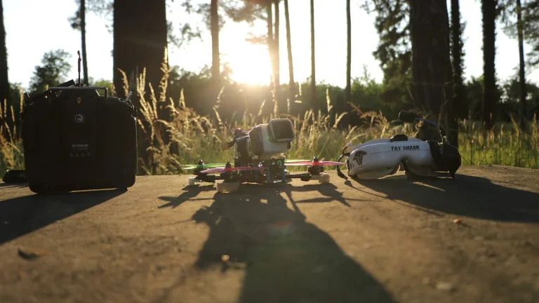
FPV Drone Cinematography In Bali Airport Zones 2027
FPV drone cinematography in Bali airport zones 2027 will remain tightly restricted, with only an estimated 5–10% of serious applications…