U-Space And Drone Traffic Management Over Bali 2027
By 2027, U‑Space style drone traffic management over Bali will likely mean that most professional flights in South Bali are pre‑filed and geo‑fenced through a digital system integrated with AirNav. Expect mandatory online approvals for over 2kg drone permit requirements Bali and automated risk scoring in KKOP and city areas.
How will U-Space and drone traffic management over Bali 2027 actually work in daily operations?
U-Space and drone traffic management over Bali 2027 will probably resemble a layered digital ecosystem. At the core, expect integration between a national unmanned traffic management platform, AirNav Indonesia’s systems, and the existing SMS-FSC channel used for Flight Security Clearance, especially in KKOP zones around Ngurah Rai and the planned Bali second airport drone impact area.
Under Peraturan Menteri Perhubungan PM 37 Tahun 2020 on unmanned aircraft systems rules Indonesia, operations in controlled airspace, KKOP, and above 400 ft already require prior approval. By 2027, those approvals are likely to be structured through standardized digital corridors and altitude “slots”, with real-time conflict alerts pushed to pilots through mobile apps or ground control software.
Large events—like future g20 summit style event drone rules Bali scenarios—will almost certainly sit on predefined “reserved” blocks of airspace, published by NOTAM via AirNav. Early signs are visible in how complex drone show permits are already processed: DKPPU exemptions/SORA, AirNav risk assessments, and SMS-FSC, with 14 working days lead time standard and 30–45 days for KKOP-heavy venues as of August 2026.
What does PM 37/2020 mean for Bali drone permits by 2027?
The permenhub 37 2020 impact on drones Bali is structural. It already defines that flights in KKOP, controlled airspace, above 400 ft, near helipads, and close to restricted areas need specific DGCA approval. By 2027, enforcement is likely to be more automated, with digital checks before a drone can even arm in some U-Space zones.
For Bali, this means popular production areas like Kuta, Seminyak, Nusa Dua, Sanur, and Canggu—much of which sit inside or close to the 15 km buffer around Ngurah Rai—will continue to be treated as sensitive. Over 2kg drone permit requirements Bali will remain strict, with operators expected to show aircraft documentation, insurance, and mission risk assessments referencing PM 37/2020 and UU No. 1 Tahun 2009.
As of August 2026, official guidance already requires applications to DGCA at least 14 working days in advance for many operations. By 2027, U-Space integration could shorten or standardise these timelines, but not remove them. Filmmakers and survey firms should expect more structured workflows, not fewer rules, and plan budgets using tools like the published bali drone permit pricing scenarios for 2027 shoots.
How will noise, privacy and fines be handled under a U-Space-style system in Bali?
As airspace digitises, social impacts become more visible. Noise impact assessments for drones Bali are likely to be requested more often by local governments and venue owners, especially for repeated flights over residential or hospitality areas. Some permits may require predicted dB profiles or restrictions on early-morning and late-night slots by 2027.
Privacy will also tighten. While Indonesia does not copy GDPR exactly, gdpr style privacy issues for drones in bali are increasingly part of brand risk analysis. Expect Bali drone permit privacy policy language to expand, clarifying retention of flight logs, video, and location data, and how that data is shared with authorities for safety oversight.
On the enforcement side, local rules already discourage flying over people and sacred sites. Bali drone fines for flying over crowds and Bali drone fines for flying over temples could be escalated in 2027 as local ordinances are updated. U-Space systems will make retrospective enforcement easier because authorities can cross-check geofenced logs, NOTAM windows, and filed flight paths against complaint reports and social media evidence.
What will U-Space mean for coworking, coliving and commercial rooftops in Bali?
By 2027, many shared work hubs are expected to have explicit Bali coworking space drone usage policy documents. These will likely include pre-approved launch zones, time windows, and a requirement to submit proof of DGCA/AirNav approvals before any commercial operation, mirroring building-management practices adopted in 2025–2026 in South Bali.
Similarly, coliving space drone rooftop rules Bali will probably restrict take-off and landing to professional operators with insured aircraft and confirmed airspace clearance, especially within KKOP. Rooftop launches near busy tourist streets or beach clubs could be limited due to crowd overflight risks and noise complaints.
For creators shooting recurring content from these spaces, automation of drone permit reminders bali will become highly practical. Expect integrated tools or third-party services that track permit expiry dates, KKOP status changes, and recurring booking windows, especially for brands using a standardised bali drone permit checklist for international brands 2027 across multiple campaigns and seasons.
How will Bali’s second airport and mega-events reshape drone traffic management?
The planned Bali second airport drone impact will be significant. A new KKOP and fresh controlled airspace blocks will sit over parts of North or West Bali (depending on the final site decision), extending the no-fly or restricted zones that currently centre on Ngurah Rai. This expansion will directly affect survey, tourism and agricultural drone work.
Future g20 summit style event drone rules bali or similar high-profile gatherings will likely trigger temporary restricted areas and extended U-Space capacity: reserved corridors for broadcast, security and mapping drones, coupled with hard geofencing for hobby flights. Operators can expect 30–45 day lead times for complex KKOP plus VIP-protection overlays, similar to current drone show workflows as of August 2026.
Professional teams planning multi-site productions across the island will benefit from pre-structured playbooks, including tools like bali drone permit strategies for mega events 2027 for larger campaigns. U-Space data will help coordinate multiple flights per day while ensuring each mission remains within the approved altitude, time, and distance envelopes.
- Typical lead time for complex KKOP-related permits: 30–45 working days as of August 2026.
- Standard lead time for simpler controlled-airspace permits: around 14 working days as of August 2026.
- Drone shows in Bali: 100 drones roughly Rp277–375 million as of August 2026, excluding content production.
- Applications channelled only via DGCA/DKPPU, AirNav (LPPNPI), airport authority and SMS-FSC; no informal shortcuts.
- Penalty exposure in KKOP breaches under UU No. 1 Tahun 2009: up to 3 years prison and fines up to Rp1,000,000,000.
- Recommended practical buffer around Ngurah Rai: about 15 km, covering much of South Bali tourist areas.
- Our team acts as an independent civilian service company; flights are performed by licensed AOC operators only.
Frequently asked questions
is u-space and drone traffic management over bali 2027 worth it in Bali?
For serious operators, u-space and drone traffic management over Bali 2027 is beneficial. It should reduce last-minute airspace conflicts, clarify slots in KKOP, and provide digital records that protect brands during investigations. The trade-off is stricter compliance and more planning, but it generally lowers operational and legal risk for professional film, survey and event work.
what is included in u-space and drone traffic management over bali 2027?
By 2027, it will likely include digital flight plan filing, automated airspace and KKOP checks, altitude and route deconfliction, real-time advisories, and integration with SMS-FSC for Flight Security Clearance. For commercial operators, expect linkages to permit workflows, insurance validation, and potentially automated logs needed for stock footage licensing of Bali drone clips.
apakah biaya izin berbeda untuk wni dan wna?
Official government fees are generally structured per application type and risk profile, not passport alone, but total project costs often differ. Foreign (WNA) projects tend to involve more locations, higher-value equipment, and stricter insurance, so quotes end up higher. All pricing is quote-based and must be confirmed case-by-case as of August 2026.
How will Bali drone fines for flying over crowds or temples be enforced by 2027?
By 2027, authorities are likely to rely on U-Space data, NOTAMs, and filed flight paths to verify alleged violations. Flying low over dense crowds or sacred sites may trigger local sanctions, project shutdowns, and insurance issues, in addition to national penalties. Brands filming near ceremonies or temples should obtain written cultural permissions and robust risk assessments.
How will stock footage licensing of Bali drone clips be affected?
Licensing will increasingly depend on clear provenance: permits, flight logs, and consent for visible individuals or private properties. Platforms and buyers may request proof that flights complied with unmanned aircraft systems rules Indonesia and Bali drone permit privacy policy standards. Having structured records will help monetise archives long-term and avoid takedown risks or indemnity disputes.
For project-specific advice on U-Space, KKOP and permits for 2027 shoots in Bali, share your storyboard and tentative locations via WhatsApp 6281139414563 or email bd@juaraholding.com (BD desk Juara Holding Group), or request bali drone permit express processing for urgent cases.
Last updated 4 August 2026
Keep Reading
Airspace & Zones
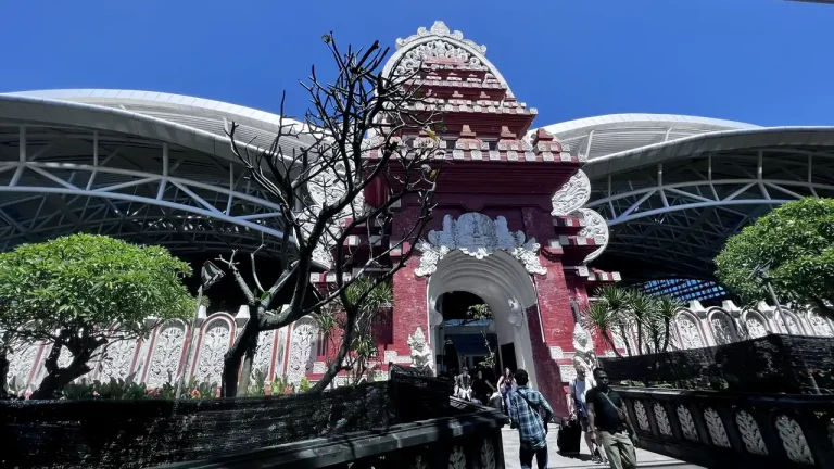
2027 Guide To Drone Filming Near Bali Airport
Filming near Bali’s Ngurah Rai Airport in 2027 is only lawful with a multi-agency permit chain and a precise safety…
Airspace & Zones
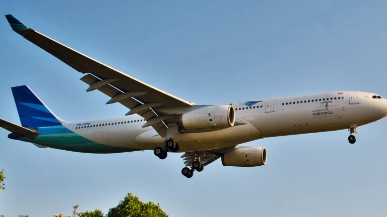
The Future Of KKOP Drone Operations In Bali 2027
By 2027, Bali’s KKOP airport safety corridors are expected to be enforced as a hard 15 km no‑fly ring around…
Airspace & Zones
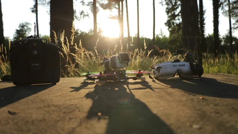
FPV Drone Cinematography In Bali Airport Zones 2027
FPV drone cinematography in Bali airport zones 2027 will remain tightly restricted, with only an estimated 5–10% of serious applications…