TV, ads and branded content
The standard chain, with a paper trail broadcasters and agencies can archive alongside releases.
Standard permits 7–14 working days · KKOP zones 30–45
TV · Ads · Branded content
Three written approvals as a minimum — DGCA/DKPPU, AirNav Indonesia and the local government or banjar. 10–21 working days for most commercial shoots in Bali.
Sponsored or monetised content is commercial use. A venue's house rules do not replace an aviation permit.
What the permit covers
A static aerial and a cinewhoop run through a hotel atrium are the same permit chain with very different safety narratives. These are the briefs that need the narrative written before filing.
Where
Lead time
Airport sign-off
Altitude trigger
Community consent
Ranges are indicative and dated August 2026. Every location is mapped against aeronautical charts, NOTAMs and local restrictions before anything is filed — the boundary is not a circle drawn on a tourist map.
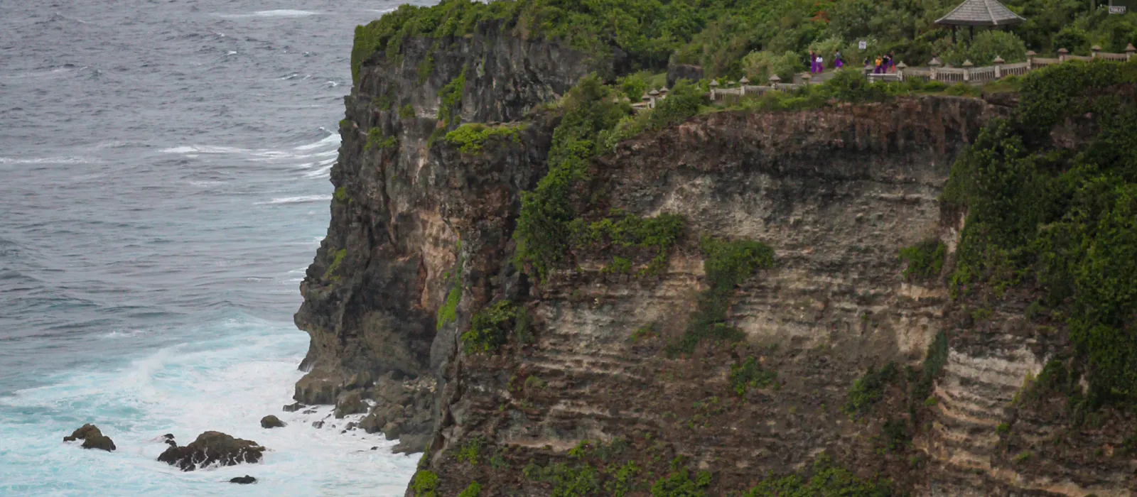
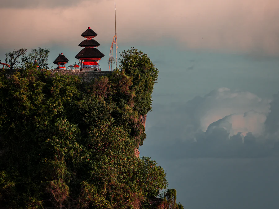
The Ministry of Transportation expects an operator to hold aviation approval and local government permission for the area of operation. In Bali that regularly means banjar or desa adat approval — especially where ceremonies, temples or village areas are in frame, or where the noise of take-off carries.
Cliff venues on the Bukit and operational harbour zones expect layered permission: banjar or desa adat, venue management, and the port authority where relevant. These documents show the community was informed and is aligned with the schedule.
Community agreement matters even where altitude and distance never trigger a DGCA approval. Broadcasters, streaming platforms and brand-safety audits routinely ask for written local consent before they clear a delivery.
Three things worth knowing before you scope a campaign.
Locations across Bali and the nearby islands, including marinas and yacht work.
Live shows and big audiences run a chain closer to a drone show — DGCA exemptions, AirNav risk assessment, NOTAM and FSC.
Bands move with flight days, aircraft type, risk level and the number of separate locations.
Shot list, locations and schedule. We map the permit pathway against the airspace and come back with lead time and a quote.